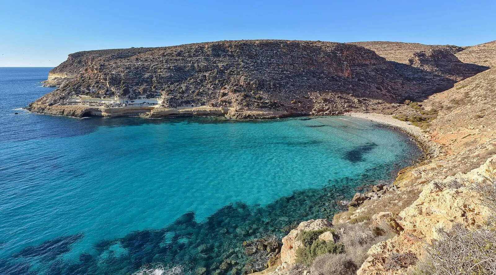
Cala Pulcino, the cove you look at rather than walk on
The path that used to drop down the valley is closed and you cannot reach the cove by land any more. Cala Pulcino is still one of the finest spots on Lampedusa, but today you see it from a boat or from above.
Important notice
Access by land is prohibited. The path that used to go down the valley is closed because of rockfall risk, after the P3 and P4 hazard classification of the regional hydrogeological plan, and the ban covers access, transit, stay and swimming. You can only see the cove from the sea, on a boat tour. Always check the current orders with the Nature Reserve or the municipality of Lampedusa e Linosa.
Cala Pulcino opens on the south western side of Lampedusa, not far from Rabbit Beach, at the bottom of a valley that runs down to the sea between walls of pale rock. For years it was the cove you had to earn on foot, and that is how it built its reputation, with a narrow strip of white gravel and water so shallow it looks motionless. That story is now closed, because the land route is no longer usable and the cove can only be viewed from the water.
The reason is not tourism management, it is the stability of the cliffs. The coastal strip around the cove has been classified as hazardous for rockfall, and on that publicly owned shoreline the ban covers access, transit, stopping and even swimming close in. Measures like these can be revised over time, so the sensible approach is to check before you plan anything rather than trust a printed guidebook or a post written a few seasons ago.
| Access | by sea only |
|---|---|
| Distance | 6.5 km from town |
| Seabed | sand and rock |
| Depth | shallow near the shore |
| Shade | none |
| Facilities | none |
| With children | not recommended |
| Snorkeling | among the best on the island |
| Sheltered from | northerly (tramontana), north-easterly (grecale), easterly (levante) |
| Exposed to | southerly (ostro), south-westerly (libeccio), westerly (ponente) |
How to see it
- Before you arrange anything, check the orders currently in force with the Nature Reserve or the municipality of Lampedusa e Linosa, because the picture can be updated from one season to the next.
- To see it, pick an island boat tour that runs along the south western coast and looks into the cove, usually on the same half day that takes in Tabaccara and Rabbit Island.
- Expect the stop to happen offshore and according to the instructions of whoever is running the boat, without moving in under the cliff and without going ashore.
- Check the marine forecast the day before, because with wind from the south or west that stretch gets lively and trips can change course or not run at all.
Why it is famous and what it looks like
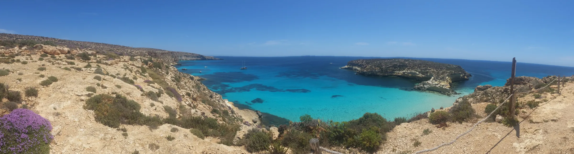
The shape is its signature. A long, narrow valley drops to the sea between walls of pale limestone, widens at the very last moment and gives way to a tongue of white gravel wedged among the rocks. In front of it the seabed stays extremely shallow for tens of metres, pale sand broken by slabs, and it is precisely that lack of depth that produces the colour, because the light reaches the bottom and comes back up. It is no accident that this became one of the most recognisable images of Lampedusa.
Seen from the water it works in exactly the same way. From a boat you read the whole design at once, the cut of the valley, the shift from the pale turquoise over the shallows to deeper blue, the contrast between white rock and low scrub. This is a cove you understand better from in front than from inside it, and anyone seeing it from the sea today is not getting a reduced version of something, but the angle that shows it best.
Why it is closed
The cliffs along this stretch are friable and prone to breaking away, and the regional hydrogeological plan placed much of the Pelagie coastal strip in the highest hazard classes, P3 and P4. On that basis the regional department for land and environment banned access, transit and stopping across the publicly owned shoreline concerned, and the ban does not stop at the path, it also covers the water close in, and therefore swimming. Cala Pulcino falls entirely within the perimeter, along with part of Cala Galera.
How you actually see it today
The full version is from the sea, on the island boat tour that leaves the harbour in the morning and works along the south western coast, where the cove appears together with the other set pieces on that side. From above, the viewpoints along the road towards Capo Ponente give you the line of the valley and the coast, and it is a stop worth the time it asks for. Stay on the road and on the pull ins already in use, do not look for shortcuts downhill and do not go near the cliff edge, which is exactly the unstable part.
Where to go instead
If what you want is very clear water over a shallow bottom, Tabaccara gives the same impression and is also seen from the sea, on the same boat trip. For snorkelling straight off the shore, mask on and no boat involved, Cala Creta and Mare Morto are the best options on the island, both on the east side and sheltered when the sirocco (south-easterly) blows. If you want sand and a long swim instead, there is Rabbit Beach, with the online booking in timed sessions that has governed entry in recent seasons.
Pick the right day to see it from the sea
The cove is at its best with a high sun and a flat sea, so aim for a trip between late morning and early afternoon, when the light drops straight onto the shallows. Days with the mistral (north-westerly) are the most reliable, because they leave the whole south and west coast settled, while wind from the south or west cuts visibility and can change the boat programme.
The ban is not a formality
This is not a sign put up out of bureaucratic caution. The area is classified as hazardous for rockfall, the valley path is closed, and the ban covers access, transit, stopping and swimming close inshore, with the penalties that go with it. Plenty of printed guides, hiking maps and online articles still describe the walk down and quote timings, but that information is out of date. Work from the current orders issued by the Nature Reserve and the municipality of Lampedusa e Linosa, not from what you read elsewhere.
Where Cala Pulcino is
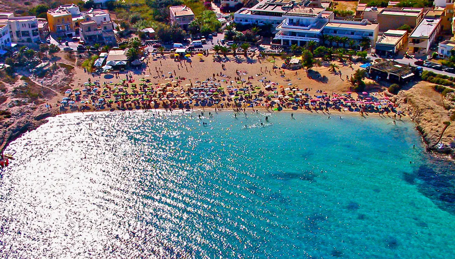
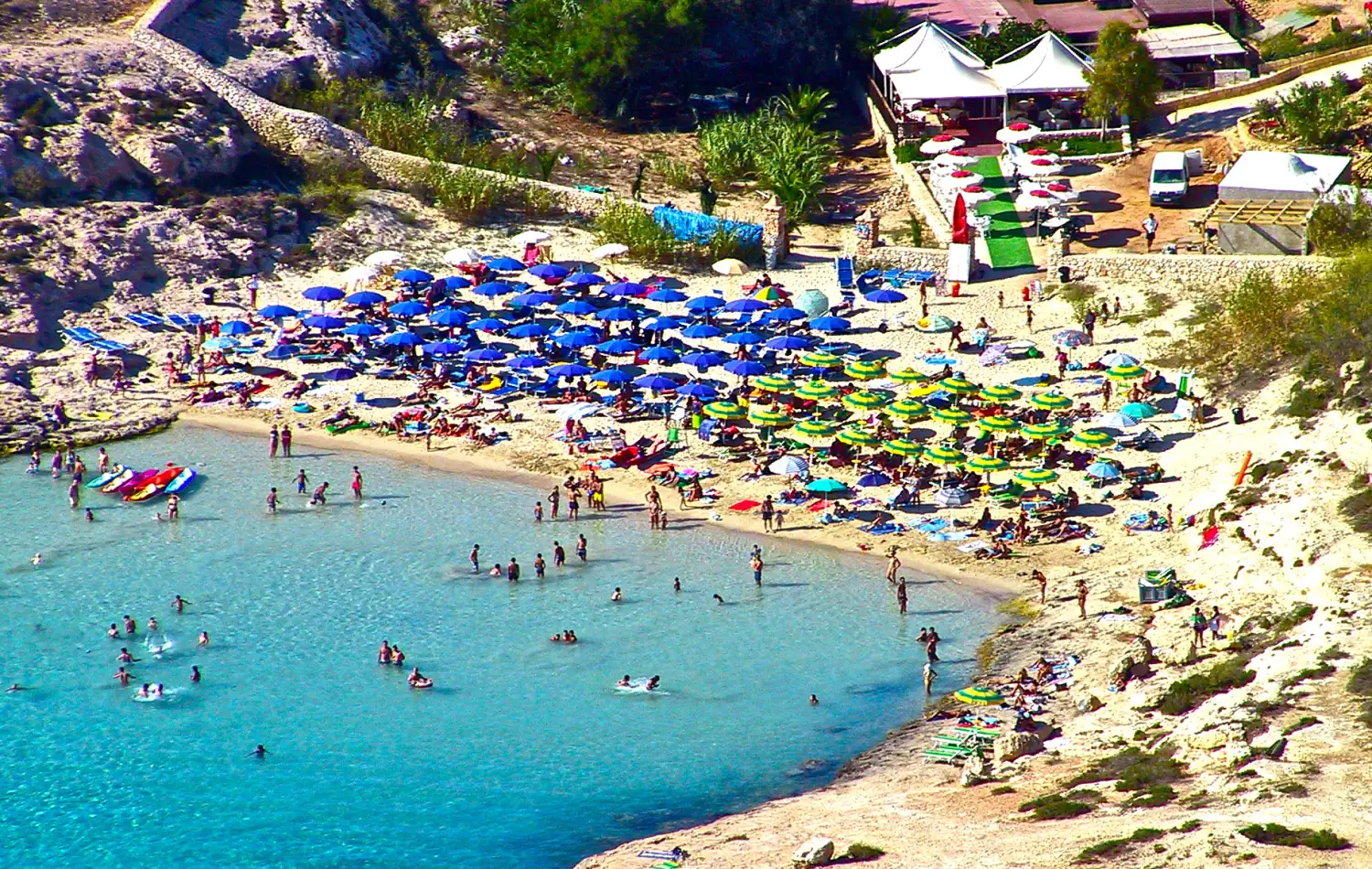
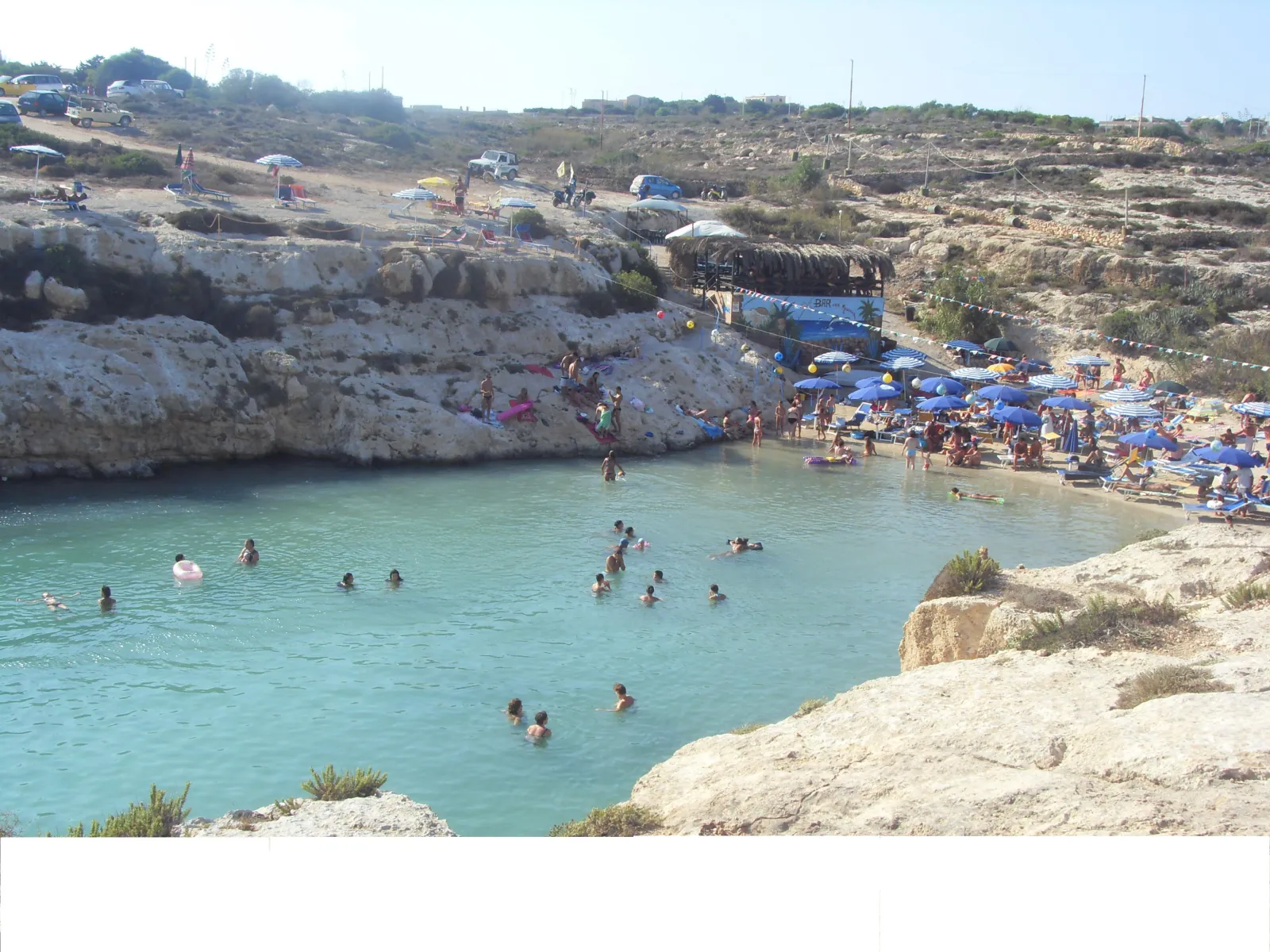
Nearby coves
Frequently asked questions
Can you still walk down to Cala Pulcino?
No. The path that used to run down the valley is closed and access by land is prohibited, because the coastal strip is classified among the most exposed to rockfall and the measure covers access, transit and stopping. The descriptions of the walk you can still find online refer to the period before the ban came in.
Can you get there by swimming or by kayak?
No. The ban does not stop at the shoreline, it also covers the water close in and therefore swimming, and boats cannot moor under the cliff. Arriving by swimming, by kayak or in a small craft and then stepping ashore means entering a restricted area, and stopping exactly where rock can come down.
Do you see it on the island boat tour?
Yes. The south western coast is part of the classic route of the day trips, which generally look into the cove before or after the other stops on that side. The boat stays offshore and does not tie up, but that is where you best take in the shape of the valley and the change of colour over the shallows.
When will the ban be lifted?
There is no way to know. It depends on how the hazard classification evolves and on any work done to make the slope safe, and those decisions do not follow the tourist calendar. Before you plan anything, ask the Nature Reserve or the municipality of Lampedusa e Linosa to confirm, as that is where the updates come from.
What is the best alternative to Cala Pulcino?
It depends on what you are missing. For clear water over a shallow bottom, Tabaccara, which is also seen from the sea on the same boat trip. For snorkelling from the shore, Cala Creta or Mare Morto on the east side. For sand and a whole day on the beach, Rabbit Beach with its timed booking system.